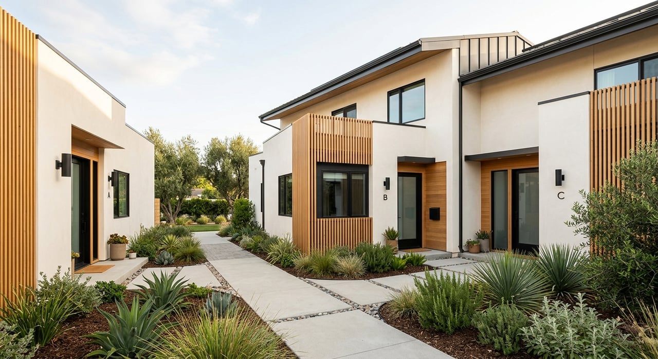
If you love quick trail escapes and an easy Peninsula commute, Belmont deserves a close look. From leafy parks to hillside singletrack to a downtown Caltrain stop, the city offers a balanced lifestyle. Choosing where to live is personal, and it helps to picture your week: errands, commuting, and weekend fun. This guide walks you through Belmont’s parks, trails, and transit so you can see how daily life feels and decide what fits you best. Let’s dive in.
Where Belmont sits on the Peninsula
Belmont sits in San Mateo County between San Francisco and San Jose. The hills rise to the west, while the flatter corridors run along Ralston Avenue and El Camino Real. Downtown and most shops cluster near these flatter areas.
Most local errands are close and simple. Many residents walk or take short drives for groceries and dining. For regional trips, you will likely use Caltrain or drive via U.S. 101, I‑280, or El Camino Real depending on your destination and traffic.
Parks you will use week to week
Twin Pines Park
Twin Pines Park is Belmont’s signature municipal park near downtown and the Caltrain station. You will find playgrounds, picnic areas, open lawns, and walking paths. Community buildings and a local museum sit nearby, making the park a regular stop for both play and civic events.
Neighborhood parks nearby
Belmont maintains smaller neighborhood parks and playgrounds throughout the city. These spots are meant for short walks from home and quick playtime. For a current list and locations, check the official City of Belmont parks pages.
Water Dog Lake trails
On the west side, the Water Dog Lake area offers natural open space with a network of short to moderate trails. Expect hilltop viewpoints, singletrack, and mixed-use paths for walking, running, and mountain biking. Surfaces vary, and grades can be steep in places, which keeps local workouts interesting.
Shoreline and Belmont Slough
Along the eastern edge of the Peninsula, wetlands around Belmont Slough provide habitat for birds and some segments of shoreline walking. Access varies by location and neighboring city. For longer, paved shoreline routes, the San Francisco Bay Trail is a short drive away in nearby bayfront communities.
Bigger weekend escapes nearby
Edgewood Park & Natural Preserve
Just south near Redwood City, Edgewood Park & Natural Preserve features oak woodlands and seasonal wildflowers. Trails range from easy to moderate, with broad views over the Peninsula. Plan a picnic or a longer nature walk using resources from San Mateo County Parks.
County and Midpen preserves
You are also close to larger hill-country destinations like Huddart and Wunderlich in Woodside, plus other county preserves with extensive trail networks and picnic areas. Farther west, the Midpeninsula Regional Open Space District preserves add ridge routes and panoramic overlooks. These spots are ideal for longer hikes, trail runs, and mountain biking.
Trail and active travel connections
Neighborhood trailheads and links
In the hillier parts of Belmont, many residential streets lead quickly to local trailheads. Short loops connect to the broader Water Dog Lake network and, by short drives, to county and regional preserves in San Carlos, Redwood City, and beyond. It is easy to scale your outing from a 30-minute sunset loop to a multi-hour hike.
Bike and pedestrian corridors
Downtown Belmont and the area around the Caltrain station on Ralston Avenue are the most walkable for errands and dining. For cycling, riders use local arterials like Ralston Avenue and El Camino Real for east–west and north–south travel. Conditions vary by street, so review local maps and updates via City of Belmont Public Works before choosing a daily route.
Grades, surfaces, and etiquette
Expect steeper grades on western trails and more exposed ridgelines on nearby preserves. Surfaces range from paved paths to dirt singletrack. Dog rules, hours, and permitted uses vary by park, so check city or county pages before you go.
Transit and major corridors
Caltrain for Peninsula commutes
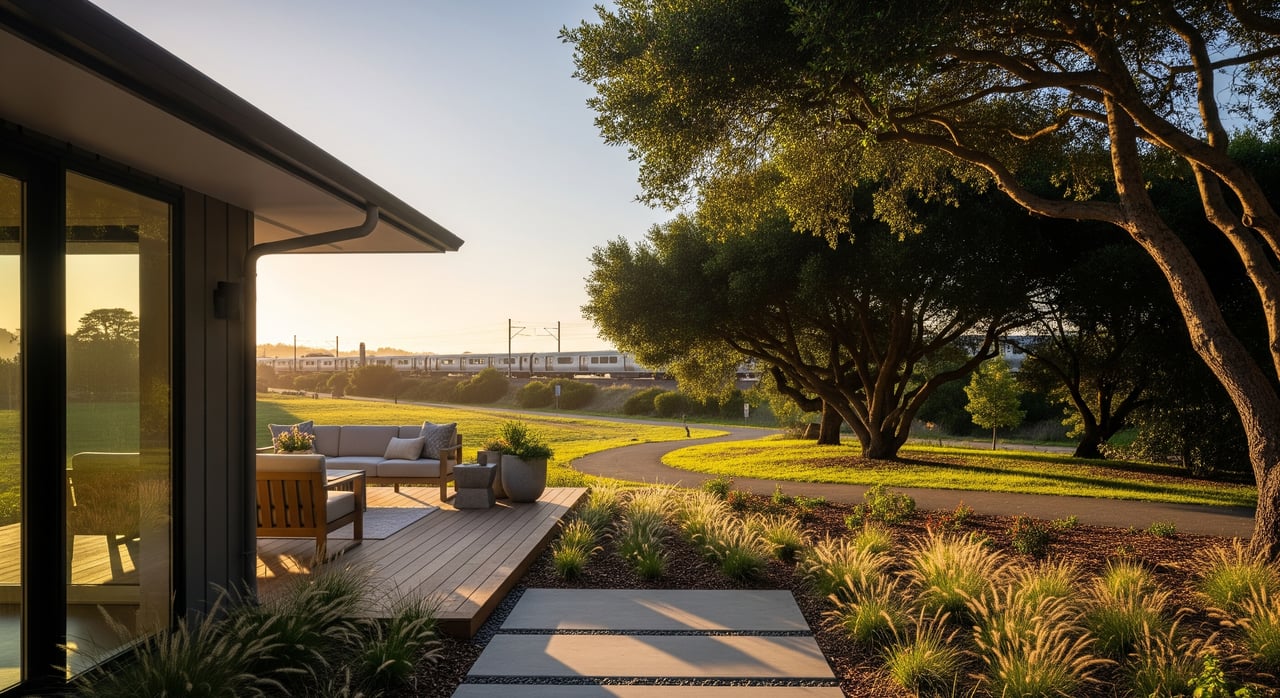
Belmont’s Caltrain station sits near downtown on Ralston Avenue. Caltrain runs regular weekday and weekend service between San Francisco and San Jose with a mix of local and limited trains. Many commuters use Caltrain to skip peak freeway traffic, while others use it a few days a week for hybrid schedules.
Buses and local shuttles
SamTrans buses provide local connections between Peninsula cities and transit hubs. Routes and frequencies change, so check current maps and schedules. Some employers and nearby cities also operate shuttles that connect to Caltrain or commercial areas.
101, 280, El Camino, and Ralston
U.S. 101 runs along the east side for fast access to San Francisco, SFO, and the South Bay. I‑280 hugs the western hills and offers a scenic alternative for regional trips. El Camino Real functions as the primary north–south surface route for local stops. Ralston Avenue is the main east–west link that ties neighborhoods, downtown, and the station together.
Parking and first‑mile options
Many Caltrain stations, including Belmont, offer some station parking and bike parking, though availability can be tight at peak times. If you live within walking distance of downtown, the station is an easy stroll. Others mix driving, biking, local buses, or drop‑offs for reliable last‑mile access.
Day‑to‑day living scenarios
- If you live near downtown, you can walk to coffee, dining, the library, Twin Pines Park, and Caltrain. Many day-to-day needs stay within a few blocks.
- If you live in the hills, you will likely drive for most errands, but you gain quick trail access and hilltop views. Plan for short drives to shops or the station.
- For weekends, you are a short drive from larger county and regional preserves, which means your hiking and biking options scale up easily.
Practical checks before you decide
- Confirm park and trail rules, including dog policies and hours, on the City of Belmont parks pages and at San Mateo County Parks.
- Review Caltrain timetables, station info, and parking at Caltrain. Decide if a walking or biking commute to the station is realistic from a given address.
- Check current bus routes and schedules with SamTrans if you plan to connect to Caltrain by bus.
- Map bike-lane continuity and safe corridors with updates from City of Belmont Public Works before committing to a bike commute.
- Visit candidate streets at different times to gauge traffic flow and noise near El Camino Real, Ralston Avenue, or freeway on‑ramps.
- For longer weekend routes, preview options on the Midpeninsula Regional Open Space District preserves site and the San Francisco Bay Trail.
Plan your move with local guidance
Belmont offers a rare mix of hillside trails, family‑friendly parks, and practical transit that fits many lifestyles. The key is matching your daily rhythm to the right micro‑location, whether that means a downtown stroll to Caltrain or quick trailheads out your front door. If you want help weighing commute times, park access, and neighborhood feel, reach out to The Fallant Team to Schedule a Consultation. We will walk the blocks with you, compare options, and help you move forward with confidence.
FAQs
What are the main parks in Belmont for everyday use?
- Twin Pines Park near downtown is the central hub, and the city also maintains smaller neighborhood parks across town for quick play and short walks.
How practical is Caltrain for commuting from Belmont?
- The downtown station offers regular service to San Francisco and the South Bay, and many commuters use it to avoid peak freeway traffic; check current schedules at Caltrain.
Where can I find longer hikes near Belmont?
- Drive a short distance to San Mateo County Parks and Midpen preserves for extended trail networks, ridge routes, and picnic areas.
Are there bike‑friendly routes for daily errands in Belmont?
- Cyclists often use Ralston Avenue and El Camino Real segments, but conditions vary by street, so review current city bike maps and plan routes in advance.
What should I know about trail difficulty around Belmont?
- Western trails are hillier with short, steep climbs and some exposed ridgelines, while bayfront paths in nearby cities tend to be flatter and paved.
Is shoreline walking available in Belmont?
- Access varies near Belmont Slough, but nearby segments of the regional San Francisco Bay Trail offer long, flat waterfront paths within a short drive.